
Smoke Forecast for Thursday, June 26, 2025, 11:30 AM
Current Conditions
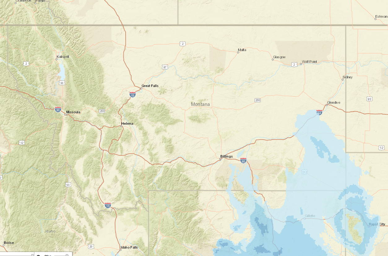
There is a slight dip in temperatures today as a system moves through the state. Scattered showers and isolated thunderstorms are expected today throughout Montana, as well as gusty outflow wind potential. The cooler temperatures and rain may help mitigate fire activity. However, lightning and wind surges leave room for potential new starts. Thankfully, precipitation accompanied by cooler temperatures over the past weekend helped limit fire behavior from the 493-acre Jericho Mountain Fire southwest of Helena, but it has since seen some growth over the last few days. The fire crews are still working on containment, which has been difficult given the terrain and fuel types. The Wolf Syrup fire between Libby and Kalispell has reached 100% containment. As southwesterly winds continue to grow, they should carry most smoke out of the greater Helena valley. This morning, satellite imagery showed smoke impacts from out-of-state sources in the far southeastern part of the state below Billings and up towards Glendive. However, these smoke impacts should dissipate by noon as transport winds shuffle the smoke out of state.
At 11:30 AM Thursday, air quality at the Helena, Great Falls, and Libby monitors was reported as Moderate.
Forecast
An approaching trough is causing the upper-level flow to become southwesterly today. A subtle disturbance is traversing the region in this flow pattern, which is kicking off scattered showers and isolated thunderstorms across central Idaho and into west-central Montana. The focus of the convection is anticipated to shift to southwest Montana by this afternoon. A few of these storms could become fairly strong as the day progresses, with the potential of producing gusty winds, small hail, and heavy rain.
A weak trough will be over the Northern Rockies tomorrow into Saturday, keeping temperatures near seasonal, along with some scattered shower activity. Northwest Montana, along the Continental Divide, appear to have the best chance of reviving showers, especially during the afternoon hours.
A strong ridge of high pressure builds over the region Sunday into the first part of next week, causing temperatures to warm dramatically. Afternoon temperatures are expected to be around 15 degrees above average for this time of year.
Conditions can change quickly as weather could stimulate active fires and the likelihood of new starts increases. Please keep track of concentrations at todaysair.mtdeq.us or the Fire and Smoke Map.
The HRRR smoke model predicts limited wildfire smoke impacts across Montana today, coming from out-of-state sources. This smoke should be pushed out by midday.
Source: HRRR-smoke
Tags: Smoke Forecast 2025