
Smoke Forecast for Wednesday, June 25, 2025, 12:00 PM
Current Conditions
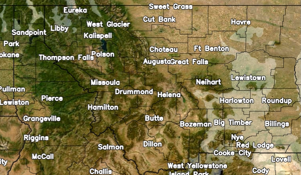
The temperature continues to slowly climb throughout the week, with chances of intermittent thunderstorms. As things heat up, we may see increased growth in active fires in the western part of the state. Thankfully, precipitation accompanied by cooler temperatures over the past weekend helped limit fire behavior from the 369-acre Jericho Mountain Fire southwest of Helena and the 140-acre Wolf Syrup Fire between Libby and Kalispell. As southwesterly winds continue to intensify, they may cause some smoke impacts in the greater Helena area as they carry smoke out of the valley. This morning, satellite imagery showed smoke impacts from out-of-state sources in the far northwestern part of the state near Libby, and down in the southeastern part of the state around Big Timber and Billings. However, these smoke impacts should dissipate throughout the day as transport winds shuffle the smoke out of state.
At 12:00 PM Wednesday, air quality at the Sleeping, Seeley Lake, Great Falls, Cut Bank, Billings, and Broadus monitors was reported as Moderate.
Forecast
Southwesterly flow will transport mid-level moisture into the Northern Rockies today, bringing potential for some light showers into northwestern Montana. Instability will gradually increase across the region this afternoon, where isolated thunderstorms and scattered showers are expected in the western part of the state. Also, background winds will strengthen during the afternoon, with widespread gusts of 15-25 mph. These winds will help drive existing smoke out of state; however, they also have the potential to increase fire activity. Given the high cloud bases and evaporative cooling potential, localized gusts over 40 mph may occur with stronger showers and some thunderstorm activity.
By Thursday, a weak disturbance combined with deeper moisture will lead to a noticeable uptick in showers and thunderstorms in some parts of the state. Models indicate that scattered showers and isolated thunderstorms will persist overnight. Initially affecting north-central Idaho before shifting into west-central Montana by early tomorrow morning. Additional showers and storms are expected Thursday afternoon, mainly south of Interstate 90. While the chance of severe thunderstorms remains low, Thursday presents the highest potential for a strong storm over the next several days. Temperatures should remain stable throughout the state.
By Friday and Saturday, the flow becomes zonal, leading to a gradual decline in shower and thunderstorm activity each afternoon as both moisture and instability wane.
Overall, temperatures will remain pleasant through Sunday, with high temperatures ranging around 5 degrees above seasonal averages. Higher temperature averages are expected to return by early next week.
Conditions can change quickly as weather could stimulate active fires and the likelihood of new starts increases. Please keep track of concentrations at todaysair.mtdeq.us or the Fire and Smoke Map.
The NOAA smoke model predicts limited wildfire smoke impacts across Montana today, majority coming from out-of-state sources.
Source: NOAA
Tags: Smoke Forecast 2025