
Smoke Forecast for Tuesday, June 24, 2025, 11:30 AM
Current Conditions
Conditions are warmer and drier today compared to the last several days. As things heat up, we may see increased growth in active fires in the western part of the state. Thankfully, precipitation accompanied by cooler temperatures over the past weekend helped limit fire behavior from the 351-acre Jericho Mountain Fire southwest of Helena and the 140-acre Wolf Syrup Fire between Libby and Kalispell. A weak southerly wind blows through Helena, which may cause some smoke impacts in the greater valley area. However, decent mixing heights and ventilation should aid the valley so that concentrations do not become too elevated. We will see some light smoke impacts in the northwestern part of the state from Washington fires, as well as the northeast from Canadian fires, along with the southeastern portion of the state around Billings from fires in states south of Montana.
At 11:30 AM Tuesday, air quality at the Helena, Sleeping, Seeley Lake, Great Falls, Billings, and Libby monitors was reported as Moderate.
Forecast
A weak ridge in place today will bring daytime temperatures back to 5 to 8 degrees above normal. Just enough instability exists for a few afternoon showers and thunderstorms, mainly throughout western and southwestern Montana. The wind is not too active in the western part of the state, where fires are of concern. In the coming days, we will continue to see some smoke impacts in the corners of the state due to fire complexes outside of Montana, near Libby, Wolf Point, and Billings.
Tomorrow, a southerly flow pattern sets up, but conditions will remain like today in terms of temperature, with a chance of light showers and thunderstorm coverage, and a slight breeze expected in the afternoons.
By Thursday, a weak disturbance combined with deeper moisture will lead to a noticeable uptick in showers and thunderstorms in some parts of the state. The best chance for rainfall will be I-90 southward across western Montana.
Higher temperatures are expected to return towards the end of the weekend and into next week.
Conditions can change quickly as weather could stimulate active fires and the likelihood of new starts increases. Please keep track of concentrations at todaysair.mtdeq.us or the Fire and Smoke Map.
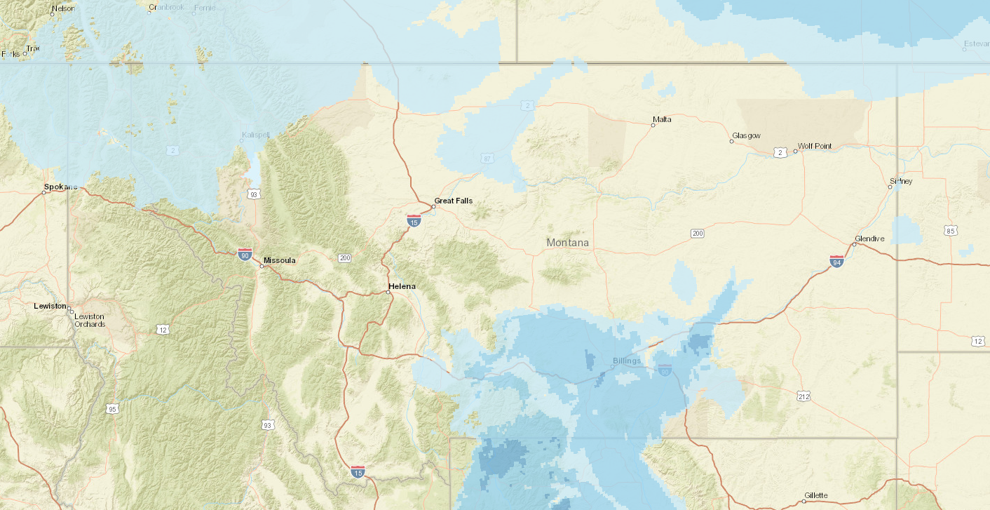
The HRRR model predicts limited wildfire smoke impacts across Montana today, majority coming from out-of-state sources.
Source: HRRR-smoke
Tags: Smoke Forecast 2025